Animated maps of Europe
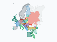
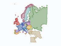
Most of these maps follow borders: the Anglo-Saxon kingdoms that became England, the Holy Roman Empire and its hundreds of territories from 962 to 1990, the century of nationalism between the Congress of Vienna and Sarajevo, and the land each side held in both World Wars and in Russia's war on Ukraine. Others follow something that crossed the borders: the Black Death between 1346 and 1353, the towns of the Hanseatic League, the switch to the Gregorian calendar, the Asian hornet and the return of the wolf.
The history maps are drawn at a series of dates, and the borders move from one date to the next. On most of them a colour is a state or a ruling house; on the Holy Roman Empire map full colour means inside the Empire and a pale colour means outside it. The other maps work differently. Some colour the land by the year in which something arrived, such as the Asian hornet or the Gregorian calendar. Others colour it by a figure or a choice, such as life expectancy at birth or the drink that leads in each country.
27 maps
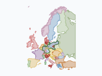
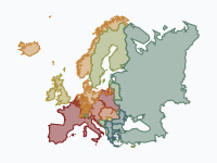
Europe 1815–1914: Empires and Nation States
From the Congress of Vienna to Sarajevo: a century of nationalism redraws Europe. Italy and Germany unite out of a patchwork of kingdoms and duchies, the multi-ethnic Ottoman Empire is pushed out of the Balkans by new…
Read the article: Europe 1815–1914: How Nationalism Redrew the Map Between Vienna and Sarajevo
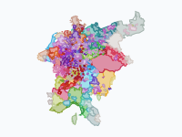
The Holy Roman Empire and Its Lands, 962–1990
Every duchy, county, march, prince-bishopric and free city of the Holy Roman Empire, and every land that ever formally belonged to it, from the coronation of Otto I in 962 to German reunification in 1990: the stem…
Read the article: The Holy Roman Empire and Its Lands: A Thousand Years of German Borders (962–1990)
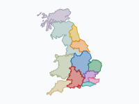
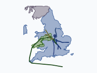
The Making of England (600–1071)
How a patchwork of Anglo-Saxon kingdoms became one England, from the Heptarchy and the Viking invasions to Alfred the Great and 1066: the rival powers of Northumbria, Mercia and Wessex, the Great Heathen Army and the…
The Black Death (1346–1353)
The first wave of the Black Death, from the Golden Horde in 1346 to Moscow in 1353, modelled from more than 680 dated places. The map is an arrival-time surface: settled land takes the colour of the half-year in which…
Read the article: The Black Death: Mapping the Deadliest Pandemic in History
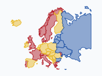
World War II in Europe, 1939–1945: Who Held What
Who controlled which territory in Europe, North Africa and the Middle East from the destruction of Czecho-Slovakia (March 1939) to the Potsdam Agreement (August 1945), in 58 snapshots: sovereign states, annexations…
Read the article: World War II in Europe, 1939–1945: Who Held What, in 58 Snapshots
The Great War – Europe and the Middle East 1914–1919
Who held which land, from the shots in Sarajevo (28 June 1914) to the end of 1919, in 34 keyframes. Every front is followed: the Western Front, the Eastern Front and the Great Retreat, the Isonzo and the Piave, Serbia…
Read the article: World War I, 1914–1919: Every Front of the Great War in Europe and the Middle East
Napoleon's Rise and Fall, 1793–1821
From the siege of Toulon in 1793 to his death on St Helena in 1821: how Napoleon Bonaparte's wars redrew Europe, from the sister republics and the Empire at its 1811 peak (annexed départements, Bonaparte kingdoms, the…
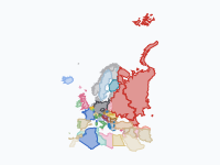
Russia's war on Ukraine, 2014–2026: who holds what
Russia annexed Crimea in 2014 and occupied part of Donbas. On 24 February 2022 it launched a full-scale invasion. Ukraine pushed it back from Kyiv, Kharkiv oblast and Kherson in 2022.
Read the article: Russia's War on Ukraine, 2014–2026: Who Holds What on the Map
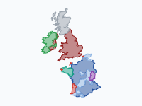
England on the Continent, 1066–1558
From Hastings to the fall of Calais: how the kings of England, from the Normans and Plantagenets to the Tudors, won and lost half of France.
The Wars of the Roses, 1455–1487
Thirty years of civil war between the houses of Lancaster and York, told through the moving armies. Every march, landing, flight and battle from the First Battle of St Albans (1455) to Stoke Field (1487) is followed…
Read the article: Tapestry: History Maps Embroidered on Linen, After House of the Dragon
The Hanseatic League (1159–1669)
The rise and fall of the Hanseatic League, the confederation of merchant towns that dominated northern European trade, from Henry the Lion's refounding of Lübeck (1159) to the last Hanseatic Diet (1669).
Read the article: The Hanseatic League, 1159–1669: An Animated Map of Its Rise and Fall
Italian Maritime Republics & Their Overseas Empires, 1000–1797
How Venice, Genoa, Pisa and Amalfi built and lost their overseas empires, from Doge Pietro II Orseolo's Dalmatian expedition in 1000 to Napoleon's end of Venice and Genoa in 1797.
Read the article: Four Port Towns and Their Sea Empires: Venice, Genoa, Pisa and Amalfi, 1000–1797
1523–2026
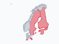
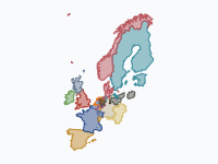
Swedish Empire – Dynasties & Territories
Sweden from the election of Gustav Vasa in 1523 to today: how the treaties from Teusina and Stolbovo to Westphalia and Roskilde built a Baltic empire, and how Nystad (1721), Fredrikshamn (1809) and the Vienna…
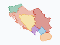
From Serbia to Yugoslavia and back, 1804–today
How the lands of the South Slavs moved from Ottoman and Habsburg rule to an independent Serbia, then to Yugoslavia, and finally to the seven states of today.
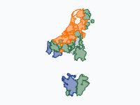
1363–1648
Burgundian State, Revolt & Republic
The Low Countries from Philip the Bold's Duchy of Burgundy (1363) to the Peace of Münster (1648). Four Valois dukes assemble the Low Countries by marriage, purchase and war; when Charles the Bold dies at Nancy in 1477…
1650–1715
Orange versus the Sun King · The 1672 Disaster Year and the duel of William III & Louis XIV
The Disaster Year (Rampjaar) of 1672 and the forty-year struggle it started between William III of Orange and Louis XIV, from William's birth in 1650 to Louis's death in 1715.
When Europe switched to the Gregorian calendar, 1582–1923
In October 1582 Catholic Europe skipped ten days. The rest of the continent took 340 years to follow: province by province and city by city, with some places switching back to the Julian calendar for a while.
Wine, beer or vodka? Europe's drinking belts, 1800–today
Which drink leads in each country of Europe, from 1800 to today? Red = wine, yellow = beer, blue = spirits (vodka, genever, akvavit, schnapps, rakija).
Read the article: Wine, Beer or Vodka? How Europe's Drinking Belts Blurred (1800–2026)
Sinterklaas to Santa: the bearded gift-bringers, 343–2026
Who brings the presents? One 4th-century bishop, Nicholas of Myra, and what Europe and then the world made of him. The pale ochre wash is the saint's cult, spreading from Lycia through Byzantium, to Bari (1087) and…
Read the article: From Sinterklaas to Santa Claus, 343–2026: An Animated Map of the Gift-Bringers
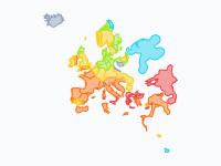
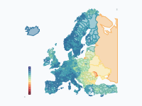
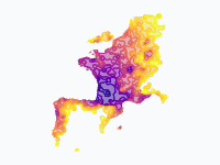
Life expectancy in Europe, 1945–2024
How long can a newborn expect to live? Life expectancy at birth (both sexes) across Europe from 1945 to 2024, one frame per year, at the finest level each country publishes: countries first, then regions and provinces…
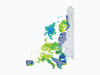
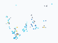
The return of the wolf to Europe, 1970–2026
Where wolves (Canis lupus) live permanently in Europe, coloured by when they first settled there: dark blue = present c. 1970, through blue, cyan and green, to yellow-green = most recent.
Read the article: How the Wolf Walked Back into Western Europe, 1970–2026: An Animated Map
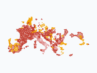
The spread of the Asian hornet across Europe, 2004–2026
The yellow-legged or Asian hornet (Vespa velutina nigrithorax) is a hornet from Asia that preys on honeybees. Genetics point to a single mated queen that reached Lot-et-Garonne in south-west France around 2004…
Read the article: How the Asian Hornet Spread Across Europe, 2004–2026: An Animated Map
Asian tiger mosquito in Europe, region by region, 1979–2026
Region by region, the spread of the Asian tiger mosquito (Aedes albopictus) in Europe, from the first European record in Albania (1979) to 2026.
Read the article: How the Asian Tiger Mosquito Spread Across Europe, 1979–2026: An Animated Map
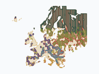
Europe's Forests, 1400–2025
Where Europe's forests stood around 1400, where they were cleared, and what grew back. Greens show forest, coloured by natural forest zone from dark boreal conifers to light broadleaf; blue-green shows planted forest…
Read the article: How Low Europe's Forests Fell, and How They Came Back (1400–2025)
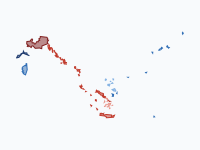
Offshore wind in the North Sea and Baltic, 1991–2026
Every offshore wind farm in the North Sea and the Baltic, shown in the year it first fed power to the grid, from Vindeby's eleven small turbines off Lolland in 1991 to the gigawatt farms of today.
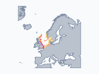
Lights Against the Sea: North Sea Shipwrecks and Lighthouses (1593–2026)
Every red patch is a cluster of recorded shipwrecks in the North Sea, counted over the ten years before each date; every yellow dot is a lighthouse or lightship, with a soft glow for the sea it lit.
Read the article: Lights Against the Sea: North Sea Shipwrecks and Lighthouses, 1593–2026
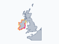
Lights Against the Sea: Ireland's Shipwrecks and Lighthouses (1588–2026)
Every red patch is a cluster of shipwrecks around the coast of Ireland, counted over the ten years before each date; every yellow dot is a lighthouse or lightship, with a soft glow for the sea it lit.
Read the article: Lights Against the Sea: Ireland's Shipwrecks and Lighthouses, 1588–2026

Make your own animated map
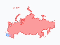
Pick a region and two years, and watch the borders of that time move. You need no account to try it.
Create a map