Animated maps of world history
These maps follow empires, colonial powers and one faith across continents and centuries. Rome grows from a single city in Latium to master of the Mediterranean, splits into West and East and lives on in the East until Constantinople falls in 1453. The Mongol Empire grows from one steppe clan into the largest contiguous land empire in history and breaks up into four khanates. Other maps cover the Ottoman, British and Dutch empires, Spanish and Portuguese America, the partition of Africa between 1870 and 1914, the making of South Africa and the unification of Japan, and one follows Christianity and its branches from about AD 30 to 2025.
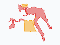
Each map is drawn at a series of dates, and the borders move from one date to the next when you press play. A colour usually stands for a state, but several of these maps use it for the kind of rule. On the Ottoman map red is land under direct rule and amber is vassal and tributary land. The British Empire map separates colonies, chartered company rule and protectorates. On the Scramble for Africa map a dark colour is land a power actually controlled, and a light wash of the same colour is what it only claimed by treaty.
Pause on any date, drag the timeline, or click a pin to read what happened there. Where a map has an article, its card links to it: the article tells the history behind the map and names the sources it was drawn from.
11 maps
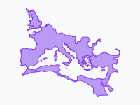
Rome — From Republic to Fall of Constantinople (509 BC – 1453 AD)
Two thousand years of Rome on one map: the Republic growing from a single city in Latium to master of the Mediterranean, the Empire at its height under Trajan, the breakaway Gallic and Palmyrene empires of the…
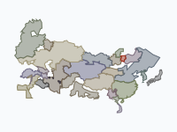
The Mongol Empire, 1206–1368
From one steppe clan on the Onon to the largest contiguous land empire in history, and its break-up into four khanates: 58 keyframes from about 1200 to 1370.
The Ottoman Empire (1299–1923)
The Ottoman Empire from Osman's beylik around Söğüt (1299) through its greatest extent on the eve of the siege of Vienna (1683) to the Republic of Turkey (1923); the last frame adds Hatay in 1939.
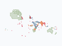
The British Empire, 1600–1997
From one colony on the James River to a quarter of the world's land, and back to a handful of islands: four centuries of British rule overseas, coloured by the kind of rule.
Read the article: The British Empire, 1600–1997: Four Centuries of Rule Overseas on One Map
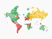
Spread of Christianity, 30–2025
How Christianity spread from a small Jewish movement in Jerusalem across the world, and which branch prevailed where. From c. AD 30 to 2025.
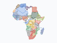
The Scramble for Africa, 1870–1914
In the 1870s European powers held about a tenth of Africa, all of it near the coasts; by 1914 only Ethiopia and Liberia were still independent.
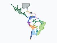
Spanish and Portuguese America, 1492–1826
The Spanish and Portuguese empires in the Americas, from Columbus's first landfall to the surrender of the last Spanish garrisons at Callao and Chiloé: how Spain and Portugal conquered Middle and South America, and how…
Read the article: Spanish and Portuguese America, 1492–1826: From Conquest to Independence
The Dutch Colonial World, 1588–today
The Dutch overseas world from the Republic of the Seven United Netherlands (1588) to the Kingdom of the Netherlands today: the trading posts and conquests of the VOC and WIC in Asia, Africa and the Americas, the…
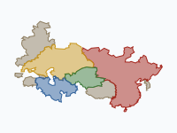
Rise and Fall of the Mongols, 1162–1783
How a fatherless boy from the Onon River built the largest contiguous land empire in history, and how his descendants' realms fell apart over the next five centuries.
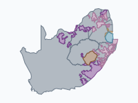
The Making of South Africa, 1488–2026: African Peoples, Colonies and Republics
How the lands of the San, the Khoikhoi and the Bantu-speaking kingdoms became South Africa, Lesotho and Eswatini, from the first clash with Portuguese sailors (1488) and the Dutch fort of 1652 to the democracy of 1994…
Read the article: The Making of South Africa: How the Land Was Taken and Divided, 1488–2026
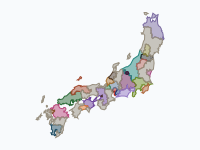
The Sengoku period: the unification of Japan, 1560–1615
Fifty-five years of the Warring States period, from Okehazama (1560) to the fall of Osaka Castle (1615): how Oda Nobunaga, Toyotomi Hideyoshi and Tokugawa Ieyasu forced a realm of rival daimyō into one.
Read the article: The Unification of Japan, 1560–1615: The End of the Sengoku Period on One Map

Make your own animated map
Pick a region and two years, and watch the borders of that time move. You need no account to try it.
Create a map