Animated maps of wars and conflicts
These maps show who held which ground, date by date. The Great War is followed on every front, from the shots in Sarajevo in June 1914 to the end of 1919. World War II in Europe is drawn in 58 snapshots, with annexations, occupation regimes, partisan areas and front lines. Russia's war on Ukraine starts with the annexation of Crimea in 2014. Older wars are here too: Rome against Carthage, the Wars of the Roses, the Dutch Revolt, the unification of Japan, Napoleon and the American Civil War.
Two kinds of map are used. Front-line maps colour the land by the side that held it, often with a paler tint for occupied ground. Army maps follow the commanders: each army of the Wars of the Roses is a token that slides along its route, and on the Napoleon map a gold dot is Napoleon himself. The maps of Napoleon's wars, the American Civil War and the war in Ukraine also carry a bar at the top that adds up the losses on each side.
12 maps
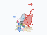
World War II in Europe, 1939–1945: Who Held What
Who controlled which territory in Europe, North Africa and the Middle East from the destruction of Czecho-Slovakia (March 1939) to the Potsdam Agreement (August 1945), in 58 snapshots: sovereign states, annexations…
Read the article: World War II in Europe, 1939–1945: Who Held What, in 58 Snapshots
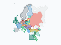
The Great War – Europe and the Middle East 1914–1919
Who held which land, from the shots in Sarajevo (28 June 1914) to the end of 1919, in 34 keyframes. Every front is followed: the Western Front, the Eastern Front and the Great Retreat, the Isonzo and the Piave, Serbia…
Read the article: World War I, 1914–1919: Every Front of the Great War in Europe and the Middle East
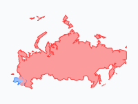
Russia's war on Ukraine, 2014–2026: who holds what
Russia annexed Crimea in 2014 and occupied part of Donbas. On 24 February 2022 it launched a full-scale invasion. Ukraine pushed it back from Kyiv, Kharkiv oblast and Kherson in 2022.
Read the article: Russia's War on Ukraine, 2014–2026: Who Holds What on the Map
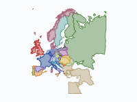
Napoleon's Rise and Fall, 1793–1821
From the siege of Toulon in 1793 to his death on St Helena in 1821: how Napoleon Bonaparte's wars redrew Europe, from the sister republics and the Empire at its 1811 peak (annexed départements, Bonaparte kingdoms, the…
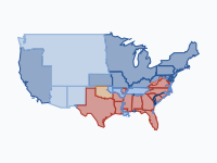
The American Civil War, 1861–1865: Front Lines, Battles and Casualties
From Lincoln's election to the abolition of slavery: eleven states leave the Union, and four years of war push the Confederacy back county by county until its armies surrender in the spring of 1865.
Read the article: The American Civil War, 1861–1865: Front Lines, Battles and Casualties
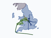
The Wars of the Roses, 1455–1487
Thirty years of civil war between the houses of Lancaster and York, told through the moving armies. Every march, landing, flight and battle from the First Battle of St Albans (1455) to Stoke Field (1487) is followed…
Read the article: Tapestry: History Maps Embroidered on Linen, After House of the Dragon
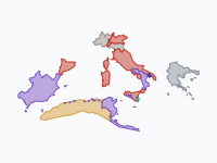
The Punic Wars: Rome against Carthage, 264–146 BC
Three wars between Rome and Carthage turned the western Mediterranean into a Roman sea. The First Punic War (264–241 BC) was fought for Sicily, mostly at sea.
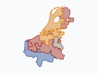
Eighty Years' War in the Low Countries, 1568–1648
The Dutch Revolt against Spanish Habsburg rule, from Louis of Nassau's invasion and the battle of Heiligerlee (May 1568) to the Peace of Münster (1648), shown only for the Low Countries and their immediate borderlands…
1650–1715
Orange versus the Sun King · The 1672 Disaster Year and the duel of William III & Louis XIV
The Disaster Year (Rampjaar) of 1672 and the forty-year struggle it started between William III of Orange and Louis XIV, from William's birth in 1650 to Louis's death in 1715.
England on the Continent, 1066–1558
From Hastings to the fall of Calais: how the kings of England, from the Normans and Plantagenets to the Tudors, won and lost half of France.
The Sengoku period: the unification of Japan, 1560–1615
Fifty-five years of the Warring States period, from Okehazama (1560) to the fall of Osaka Castle (1615): how Oda Nobunaga, Toyotomi Hideyoshi and Tokugawa Ieyasu forced a realm of rival daimyō into one.
Read the article: The Unification of Japan, 1560–1615: The End of the Sengoku Period on One Map
The Mongol Empire, 1206–1368
From one steppe clan on the Onon to the largest contiguous land empire in history, and its break-up into four khanates: 58 keyframes from about 1200 to 1370.
Make your own animated map
Pick a region and two years, and watch the borders of that time move. You need no account to try it.
Create a map