World history
Empires, faiths and the long arcs of history, from Rome to decolonisation.
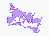
509 BC – AD 1453
Rome, from Republic to the fall of Constantinople
One city grows to rule the Mediterranean, splits in two and lives on in the East for a thousand years after the West falls: when did the Roman Empire really end?
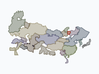
1206–1368
The Mongol Empire
The largest land empire in history, campaign by campaign, and its split into four khanates: what held it together, and what broke it apart?
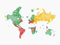
AD 30 – 2025
The spread of Christianity
From a small movement in Jerusalem to every continent: see where Catholic, Orthodox, Protestant and the Church of the East came to dominate, and where most people are now non-religious.
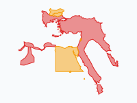
1299–1923
The Ottoman Empire
From Osman's small beylik to three continents and back to the Republic of Turkey; compare direct rule with vassal lands and discuss when the decline began.
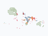
1600–1997
The British Empire
From one colony on the James River to a quarter of the world's land in 1921 and back: trading companies, Crown colonies, dominions and decolonisation after 1947.
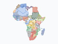
1870–1914
The Scramble for Africa
Compare what the European powers claimed on paper (light) with the land they actually controlled (dark), and see which African states held out longest.
Europe
How kingdoms, plagues and nations shaped the map of Europe.
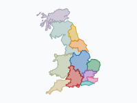
600–1071
The making of England
Anglo-Saxon kingdoms, the Viking Great Heathen Army and the Danelaw, Alfred's heirs and the Norman Conquest: how did a patchwork of kingdoms become one England?
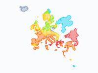
1346–1353
The Black Death
Half a year at a time, the plague travels from the Golden Horde across the Mediterranean and Europe to Moscow: why were ports hit first, and why did some places escape?
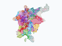
962–1990
The Holy Roman Empire and its lands
Hundreds of duchies, bishoprics and free cities coloured by ruling house: the patchwork that became Germany in 1871, was divided after 1945 and reunited in 1990.
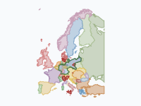
1815–1914
Europe: empires and nation states
A century of nationalism from the Congress of Vienna to Sarajevo: Italy and Germany unite and new Balkan states break away from the Ottomans. Background for the causes of the First World War.
The Americas
Native nations, colonial empires and the making of today's countries.
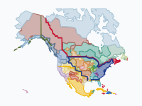
1492–2025
The making of the United States
Native nations hold the continent in 1492; watch colonial footholds, the treaty cessions rolling west and the removals to Indian Territory, down to the reservations of today.
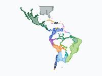
1492–1826
Spanish and Portuguese America
The fall of the Aztec and Inca empires, three centuries of viceroyalties and missions, and the wars of Bolívar and San Martín; the Tordesillas line shows what the treaties said.
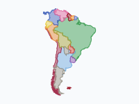
1808–2026
South America since independence
How Napoleon's invasion of Spain and Portugal set off the wars of independence, and how two centuries of wars and treaties fixed today's borders, from Bolivia's lost coast to the Chaco War.
Wars and conflicts
Armies, front lines and occupations, followed date by date.
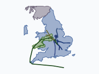
1455–1487
The Wars of the Roses
Follow the armies of Lancaster and York march by march, from St Albans to Bosworth and Stoke Field, and ask why the battles were fought where they were.
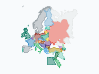
1914–1919
The Great War
Every front, not just the Western Front: the Eastern Front, Gallipoli, Mesopotamia and Palestine, then four empires collapse and new states appear in 1918–19.
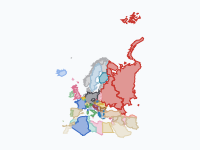
1939–1945
World War II in Europe
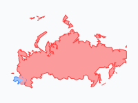
58 snapshots of who held what: annexations, occupation regimes, partisan areas and front lines, from the end of Czecho-Slovakia to the zones of occupation of 1945.
2014–2026
Russia's war on Ukraine
Current affairs on a map: Crimea and Donbas in 2014, the full-scale invasion of February 2022, Ukraine's counter-offensives and the slow-moving front since.
Nature, health and science
Invasive species, comebacks, climate, epidemics and a coastline that moved.
2004–2026
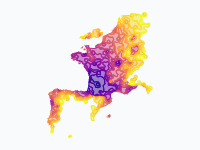
The spread of the Asian hornet
An invasive species on the move: from its arrival in south-west France in 2004 across western Europe, coloured by the year it was first recorded.
1970–2026
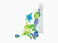
The return of the wolf
A conservation comeback: from a few last strongholds around 1970 to packs across Germany, France and the Alps. What changed, and why do wolves still cause conflict?
1979–2026
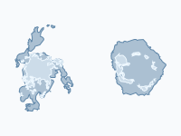
Sea ice at its extremes
Both poles side by side for every year of the satellite record: see how much Arctic summer ice has gone (the record low was 2012) and the recent Antarctic drop.
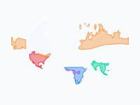
21,000 years ago – today
Where elephants and mammoths lived
Mammoth and elephant ranges from the last Ice Age to now, with the ice sheets and land bridges: a starting point for extinction, climate change and human impact.
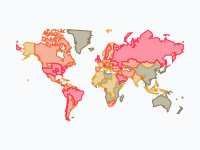
2019–2023
COVID-19: from Wuhan to the world
From a cluster in Wuhan to every country, then the variants taking turns: how epidemics spread, and why case numbers depend on how much a country tests.
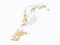
500 BC – 2026
How the Netherlands rose from the sea
Dikes, storm floods and polders: watch the coastline change over 2,500 years, with today's land coloured by when it was won from the water.
Literature
Follow the journeys of a book on a map of its world.
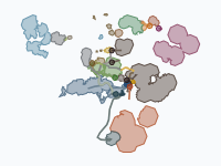
Third Age 2941–3021
Middle-earth: The Hobbit and The Lord of the Rings
Follow Bilbo, the Fellowship and the armies of the War of the Ring along their routes, dated from Tolkien's own Tale of Years: a companion for reading the books.
Looking for something else? Browse all published maps or tell us which map your class needs.
How to use it in class
Every map works on its own page, inside your course, on the projector and on paper.
Share the link
Every map has its own web address. Post it in Google Classroom, add it to a Nearpod lesson as web content, or link it from Canvas or Moodle. Students need no account: the map plays in any browser, on laptops, tablets and phones.
Embed it in a page
On the map's page, open Share & export and click Embed to copy the iframe code. Paste it into any page that accepts embeds (a Canvas page, Moodle, Google Sites, a class blog) and the map plays right there.
Present it full screen
On a laptop or desktop, click the full-screen button at the end of the timeline, or press F. The controls hide; Space plays and pauses, the arrow keys or a presenter clicker step from date to date, and Esc leaves. Made for the projector and the smartboard.
Pause and discuss
Stop on any date, drag the timeline back and forth or slow the playback down. Click a pin to read what happened there, open the list of events to jump to a moment, and use the legend to switch layers on and off.
Put it in your slides
Share & export also downloads the map as a looping GIF of its keyframes, or the whole animation as an MP4 video (MP4 needs a browser that can encode video, such as Chrome or Edge). Both drop straight into PowerPoint, Keynote or Google Slides.
Read it as text
Add .md to the end of a map's address for a plain-text version: the timeline, the layers and every event with its date. Handy for reading, worksheets and quiz questions. Try it with The Black Death.