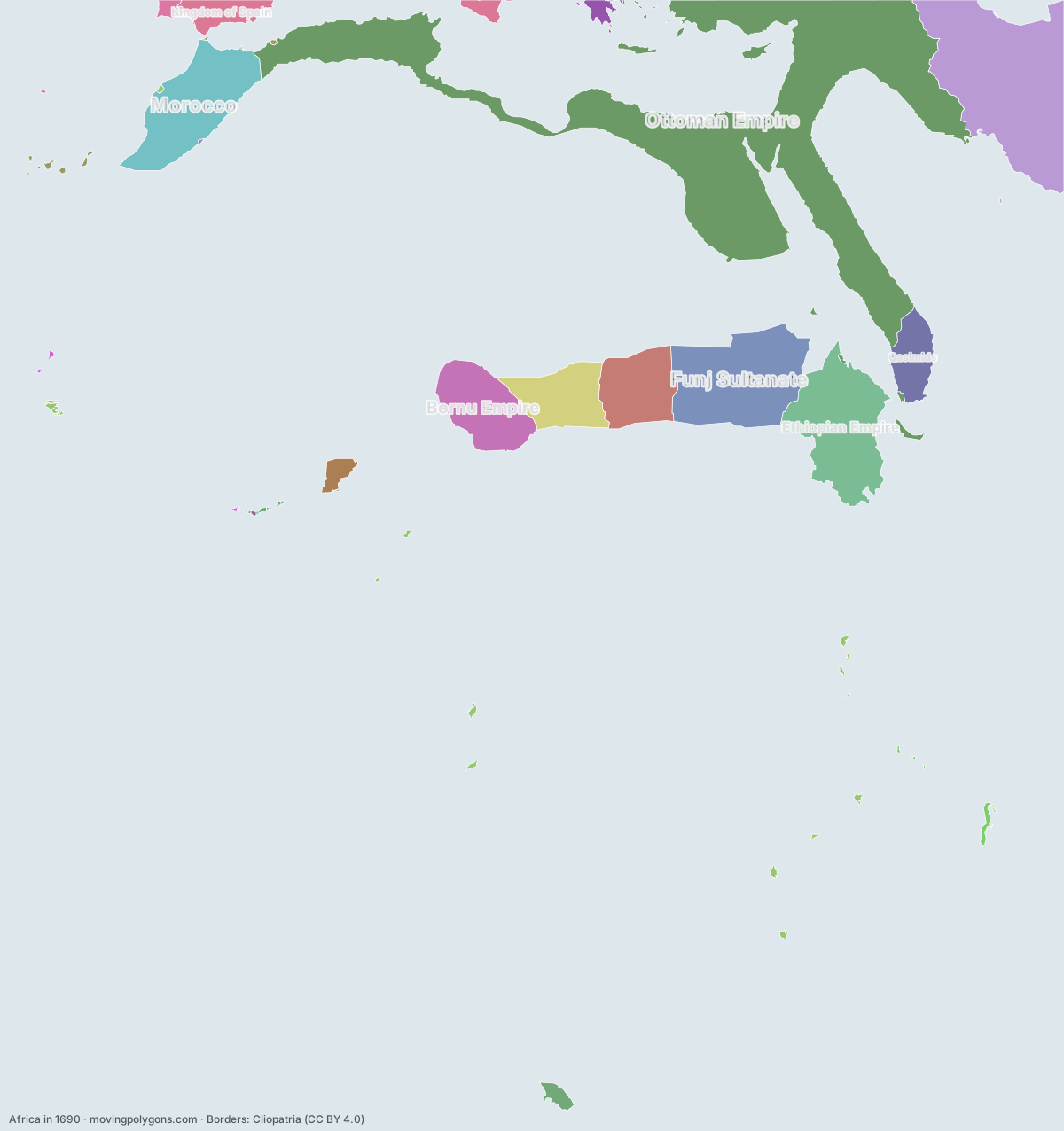
Africa in 1690
This map shows the 22 states and peoples the data has for Africa in that year.
Watch these borders move
Play the changes on an animated map, in your browser. Free, no account needed.
States and peoples in Africa in 1690
Largest first, by area on this map.
- Ottoman Empire
- Safavid Dynasty
- Funj Sultanate
- Ethiopian Empire
- Morocco
- Bornu Empire
- Sultanate of Darfur
- Wadai Empire
- Qasimids
- Kingdom of Spain
- Oyo Empire
- Portuguese Empire
- Dutch Cape Coast
- Republic of Venice
- Kingdom of Portugal
- French India
- Spanish Empire
- New France
- Brandenburg-Prussia
- Danish India
- English Colonial Empire
- Saadi Sultanate
New on the map since 1665
Morocco · French India · Brandenburg-Prussia
Gone from the map by 1715
English Colonial Empire
Animated maps of this time
Africa in other years
Other regions in 1690
The outlines are coarse and follow the Cliopatria dataset: borders before modern surveys are estimates, and a blank area means the data has no state on record there, not that nobody lived there. A state that changed hands during the year can appear together with its successor.