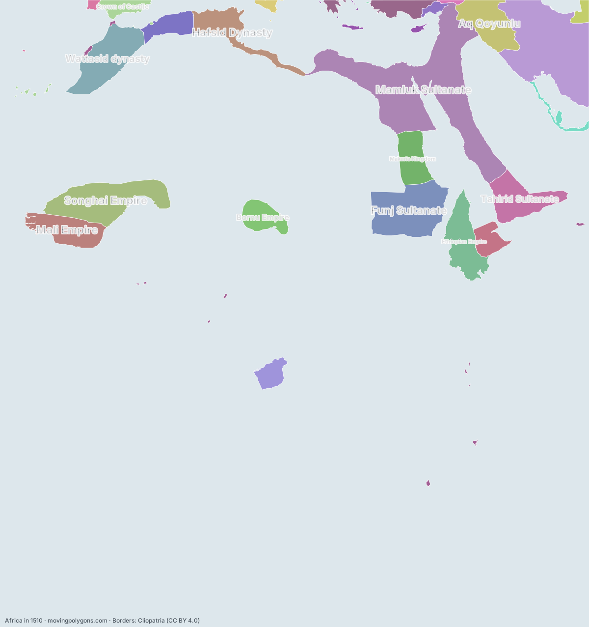
Africa in 1510
This map shows the 26 states and peoples the data has for Africa in that year.
Watch these borders move
Play the changes on an animated map, in your browser. Free, no account needed.
States and peoples in Africa in 1510
Largest first, by area on this map.
- Mamluk Sultanate
- Safavid Dynasty
- Songhai Empire
- Funj Sultanate
- Wattasid dynasty
- Ethiopian Empire
- Tahirid Sultanate
- Mali Empire
- Aq Qoyunlu
- Hafsid Dynasty
- Makuria Kingdom
- Bornu Empire
- Zayyanid dynasty
- Ottoman Empire
- Adal Sultanate
- Kingdom of Kongo
- Crown of Castile
- Bahrani Dynasty
- Shaybanids
- Ramadanid Emirate
- Crown of Aragon
- Portuguese Africa
- Republic of Venice
- Kingdom of Portugal
- Beylik of Dulkadir
- Republic of Genoa
New on the map since 1485
Safavid Dynasty · Funj Sultanate · Shaybanids · Portuguese Africa
Gone from the map by 1535
Mamluk Sultanate · Tahirid Sultanate · Aq Qoyunlu · Makuria Kingdom · Crown of Castile · Bahrani Dynasty · Shaybanids · Ramadanid Emirate · Crown of Aragon · Beylik of Dulkadir · Republic of Genoa
Animated maps of this time
- The Ottoman Empire (1299–1923)
- Rise and Fall of the Mongols, 1162–1783
- Spread of Christianity, 30–2025
- Where elephants and mammoths lived, 21,000 years ago to today
- The Making of South Africa, 1488–2026: African Peoples, Colonies and Republics
- Italian Maritime Republics & Their Overseas Empires, 1000–1797
Africa in other years
Other regions in 1510
The outlines are coarse and follow the Cliopatria dataset: borders before modern surveys are estimates, and a blank area means the data has no state on record there, not that nobody lived there. A state that changed hands during the year can appear together with its successor.