Europe in AD 395
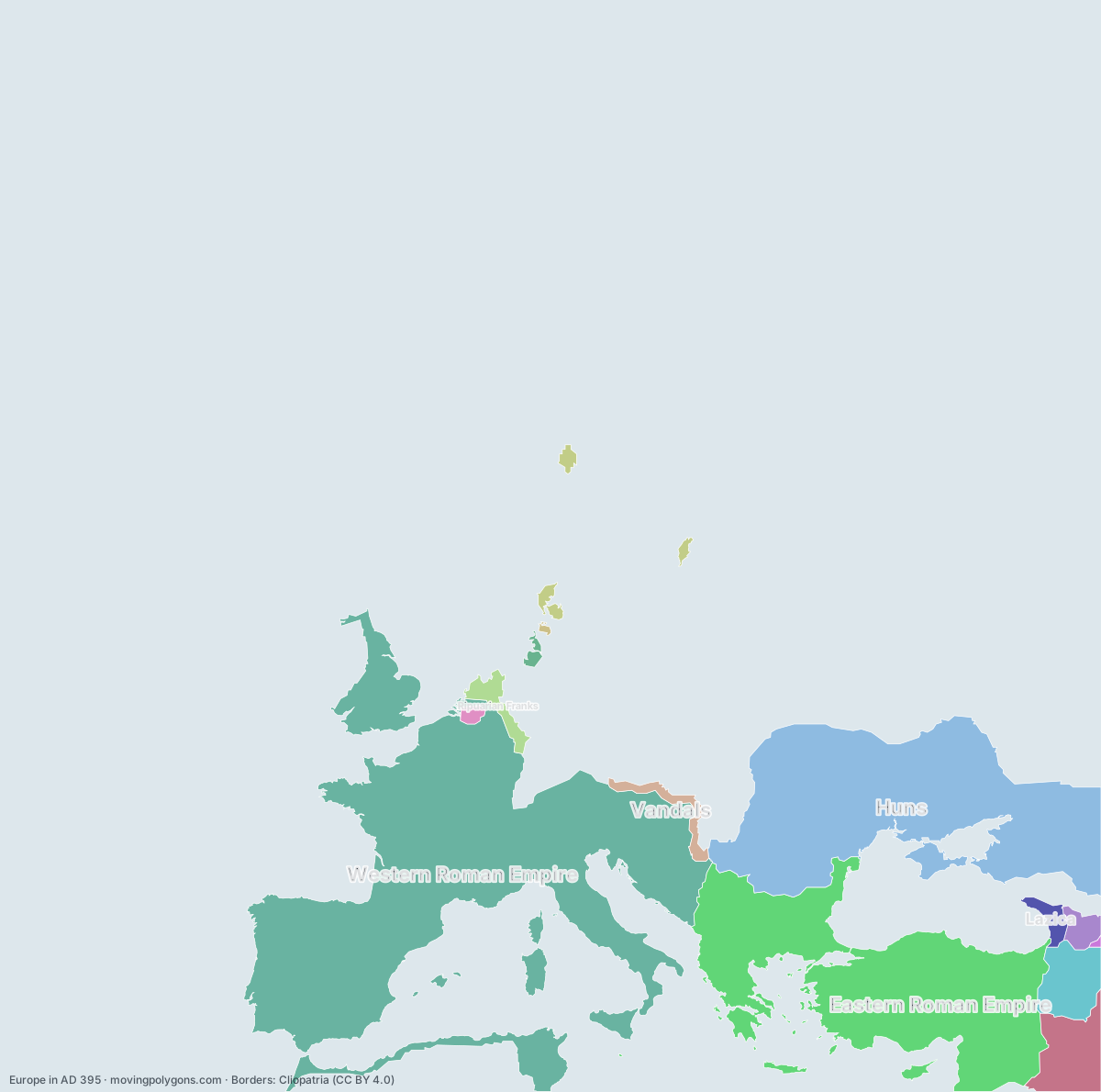
AD 395 is the year the Roman Empire was divided for good. This map shows the 14 states and peoples the data has for Europe in that year.
Watch these borders move
Play the changes on an animated map, in your browser. Free, no account needed.
States and peoples in Europe in AD 395
Largest first, by area on this map.
- Western Roman Empire
- Eastern Roman Empire
- Huns
- Sasanian Empire
- Kingdom of Armenia
- Vandals
- Ripuarian Franks
- Caucasian Iberia
- Lazica
- Norse
- Salian Franks
- Saxons
- Caucasian Albania
- Angles
New on the map since AD 295
Western Roman Empire · Eastern Roman Empire · Huns · Vandals · Salian Franks · Angles
Gone from the map by AD 495
Western Roman Empire · Huns · Kingdom of Armenia · Vandals · Angles
Animated maps of this time
Europe in other years
Other regions in AD 395
The outlines are coarse and follow the Cliopatria dataset: borders before modern surveys are estimates, and a blank area means the data has no state on record there, not that nobody lived there. A state that changed hands during the year can appear together with its successor.