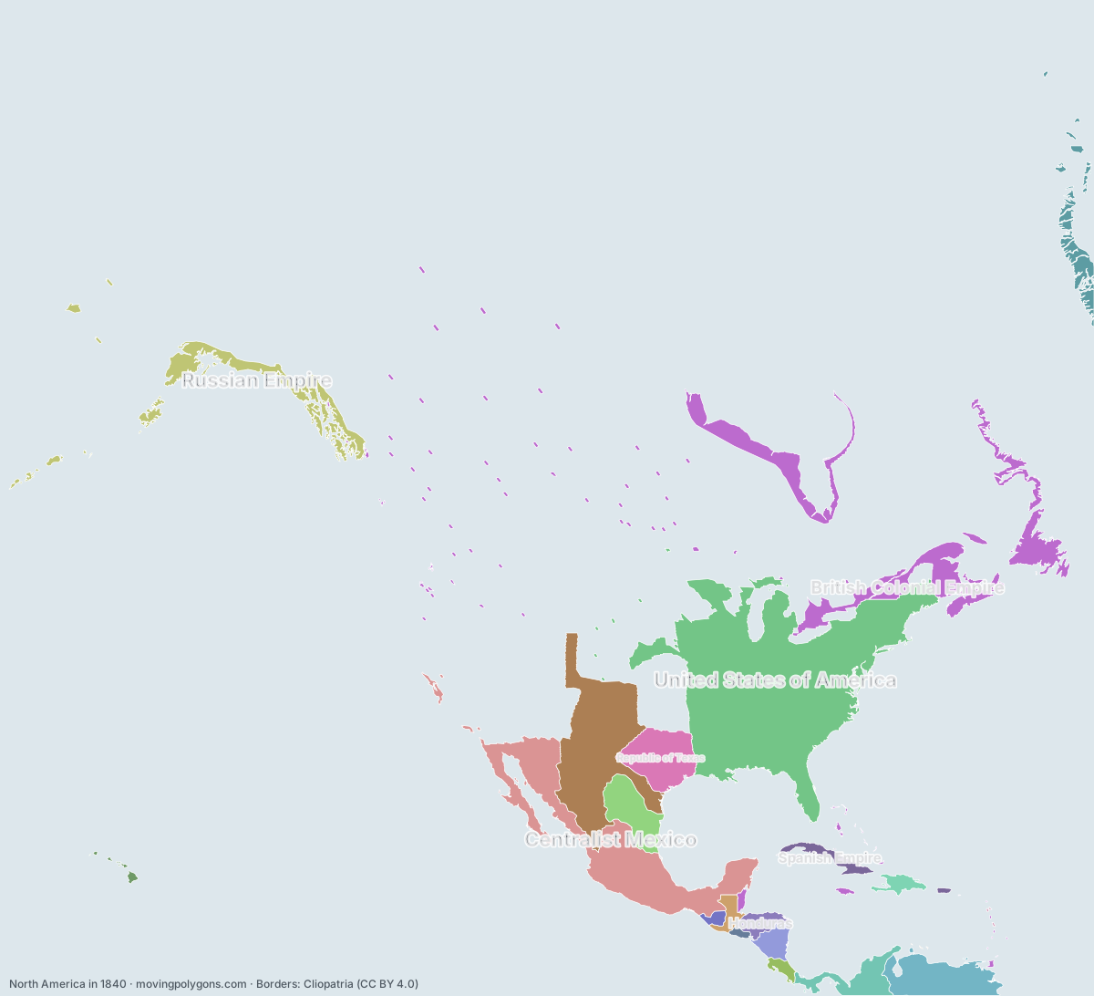
North America in 1840
This map shows the 21 states and peoples the data has for North America in that year.
Watch these borders move
Play the changes on an animated map, in your browser. Free, no account needed.
States and peoples in North America in 1840
Largest first, by area on this map.
- United States of America
- Centralist Mexico
- Federated Republic of Mexico
- British Colonial Empire
- Venezuela
- Republic of Texas
- Russian Empire
- Republic of the Rio Grande
- Republic of New Granada
- Republic of Nicaragua
- Spanish Empire
- Honduras
- Greenland
- Guatemala
- Empire of Haiti
- Republic of Costa Rica
- Los Altos
- Republic of El Salvador
- Kingdom of Hawaï'i
- Bourbon Kingdom of France
- Netherlands Antilles
New on the map since 1815
Centralist Mexico · Federated Republic of Mexico · Venezuela · Republic of Texas · Republic of the Rio Grande · Republic of New Granada · Republic of Nicaragua · Honduras · Guatemala · Republic of Costa Rica · Los Altos · Republic of El Salvador
Gone from the map by 1865
Centralist Mexico · Republic of Texas · Republic of the Rio Grande · Republic of New Granada · Los Altos · Bourbon Kingdom of France
Animated maps of this time
- The Making of the United States, 1492–2025: Native Nations and Colonial Powers
- The British Empire, 1600–1997
- South America: from the wars of independence to today, 1808–2026
- The Dutch Colonial World, 1588–today
- Where elephants and mammoths lived, 21,000 years ago to today
- Los Angeles: How the Sprawl Grew, 1781–2020
North America in other years
Other regions in 1840
The outlines are coarse and follow the Cliopatria dataset: borders before modern surveys are estimates, and a blank area means the data has no state on record there, not that nobody lived there. A state that changed hands during the year can appear together with its successor.